
Camas Neighbor Records by Block
Different records describe different parts of a Camas block. MapsOnline supplies the parcel pattern. The Property Information Center, or PIC, confirms a parcel ID, physical site address, legal description, taxes, and linked records. Washington's public voter list may place registered voters at addresses under restricted uses. City permits or code cases can show work at a site. Neighborhood groups add public civic contacts, but the City does not publish a complete member roster.
| Source | What It Shows About a Block | Access |
|---|---|---|
| Clark County MapsOnline | Parcel lines, adjacent tracts, roads, zoning, and map layers | Free public map |
| Property Information Center | Parcel ID, situs, legal description, taxes, permits, and document links | Public address search; name search at Joint Lobby or by subscription |
| Washington voter list | Public voter name, address, year of birth, and voting history fields | Approved SOS extract under state limits |
| City neighborhood page | HOA contact route, map context, and Downtown Camas Association link | Public page; no member directory |
| Directories and local archives | Past listed households and historical block context | Library, CCGS, museum, or State Library |
An owner's mailing address may differ from the situs, which is the physical parcel. A grantee received a recorded interest but may not occupy the site. A permit applicant might be a builder. A voter record is tied to registration, not a complete household. Compare two independent records with matching dates before connecting a name to a place, and describe the result by its true role: owner, mailing recipient, applicant, or registered voter.
Select a Camas Anchor Parcel
Open Clark County MapsOnline and use Find Parcel to locate the known address. Zoom until the parcel lines are distinct. Save the anchor parcel ID, situs address, and legal description before clicking nearby shapes. If an Info or Identify click returns no data, verify that the parcel layer is active and that the correct symbol type was selected. County guidance notes that the wrong layer can yield an empty result.
The assigned GIS image comes from the MapsOnline parcel viewer.
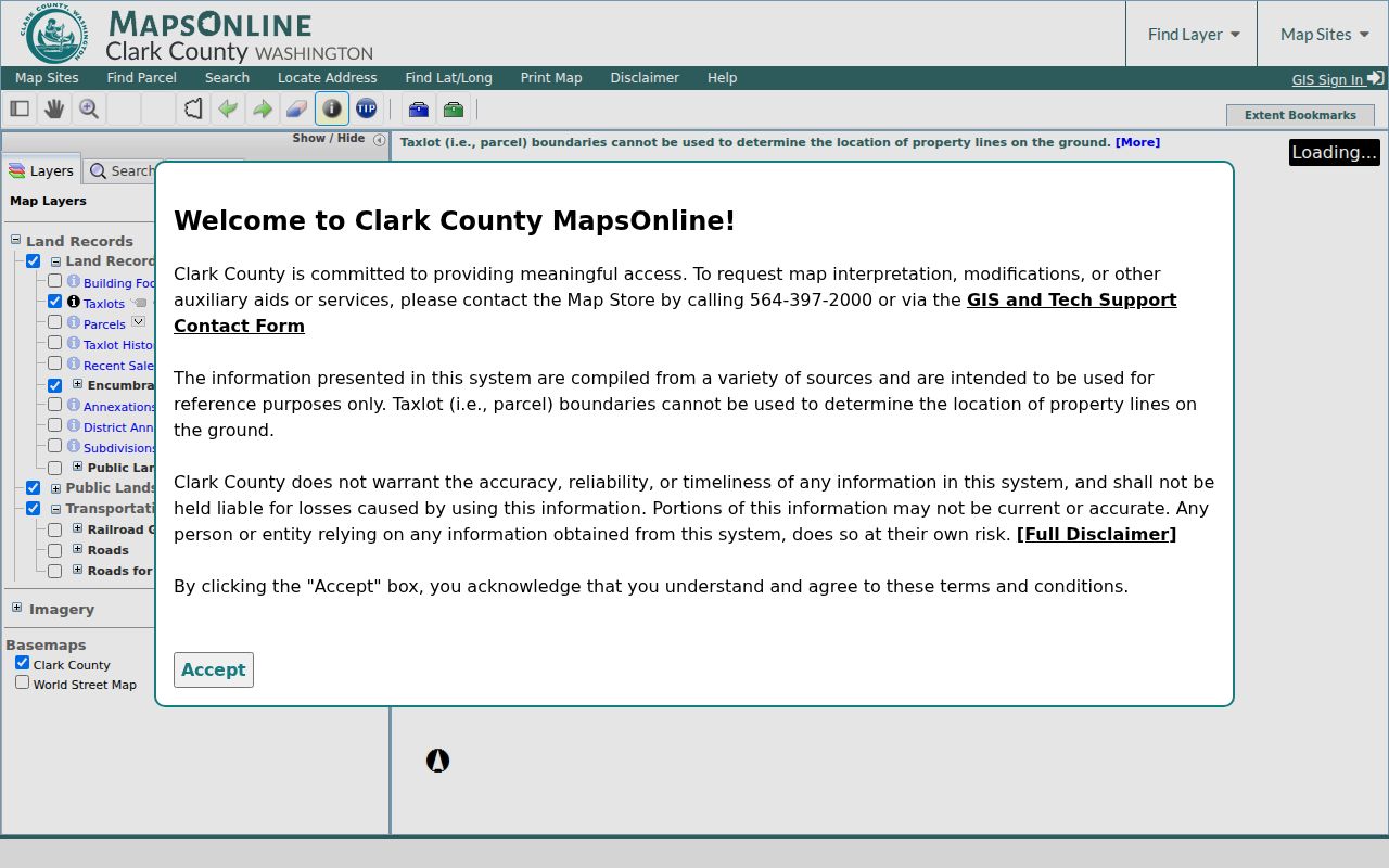
Parcel outlines make the immediate-block method visible, including narrow or irregular tracts that should not be mistaken for another home.
Camas Adjacent Parcels Explained
MapsOnline did not expose a confirmed public buffer or radius tool during research. Walk the block by hand instead. Click every polygon that shares a boundary with the anchor. Write down each parcel ID, then confirm it in PIC by account or address. Continue one ring farther only when the question truly concerns more than the nearest Camas neighbors.
- Find the known site and save its parcel number and legal description.
- Click each touching parcel, including side, rear, and corner lots.
- Open each parcel in PIC and note its situs, property type, and public account details.
- Mark roads, utility strips, drainage lots, and common tracts apart from homes.
- Use the Camas street directory only when the search expands along the full named street.
The result is a parcel inventory, not a list of every person. This distinction matters in subdivisions around Prune Hill, Grass Valley, Lacamas Lake, and newer hillside areas where common open-space tracts may touch several homes.
Confirm Camas Parcel Context
The Clark County PIC takes a complete or partial street address, house number, tax account, or parcel number. After a match, the account may present building, tax, recorded document, permit, environmental, and map tabs. Public web search does not provide ordinary owner-name searching. That function is available through Joint Lobby self-service computers or subscriber access.
- Parcel
- A legally defined tract of land with its own county account.
- Situs address
- The physical location assigned to the parcel, distinct from a mailing address.
- Plat
- A recorded map that divides land into lots, roads, and common areas.
- Common tract
- Land held for shared open space, drainage, utilities, or association use.
Use tax and building facts only for property context. An exemption, mailing match, or recorded deed can support an ownership conclusion, but the research does not establish a public homestead flag for Camas that proves occupancy.
Map Camas Neighbors Carefully
The clean process is address to parcel, parcel to touching polygons, and each polygon to its own PIC account. Do not copy the name from a map label and stop. Match the parcel ID, physical site, and legal description. If ownership history matters, follow the Auditor document link to Landmark, where a recorded deed identifies grantors and grantees. A deed is ownership evidence, not a resident roster.
- Locate the address in MapsOnline and select the correct parcel.
- Click the surrounding parcels and save each account number.
- Confirm property type, situs, and legal description in PIC.
- Compare ownership or registration records only when a date-specific question calls for them.
A current mail recipient may be an owner who lives elsewhere. A trust, company, or association may also hold title. Keep those cases labeled and avoid inferring household members. The narrow block method reduces false matches because every parcel is checked against one map and one point in time.
Camas Associations and Common Space
The City of Camas neighborhood page provides an HOA contact route, a map, and a Downtown Camas Association link. The City's parks and open-space material notes that associations manage a meaningful share of local open space and trails. That fact changes how a block map should be read: a parcel beside a house may be association land rather than another household.
The assigned City neighborhood image shows the local contact layer.
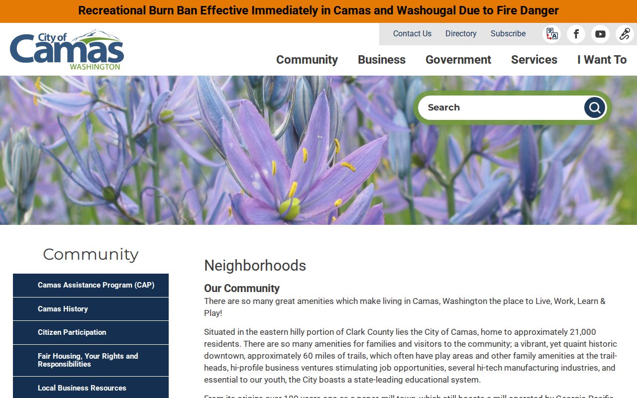
Use public officer or management contacts to ask about shared land and civic events, not to demand a private member roster.
City neighborhood contact
Camas City Hall
616 NE 4th Avenue
360-834-6864
Downtown civic layer
Downtown Camas Association information is linked from the City's neighborhood page.
County map help
Clark County GIS Center
564-397-2391 for property and map routing
Camas Voter Data by Block
VoteWA lets each voter view or update their own record. It is not an open public person-search box. Public lists and precinct poll books exist under RCW 29A.08.710, .720, and .740, and Clark County routes voter-data requests to the Secretary of State. An approved statewide VRDB extract can include name, registration address, year of birth, registration date, precinct and voting history. It does not reveal ballot choices.
Full birth dates, driver-license data, Social Security fragments, and protected-voter details stay closed. Voter data also cannot be used for advertising or solicitation. In 2025, the Secretary of State drew this same line when responding to a federal request: public name, address, birth-year, and voting-history fields were separated from protected columns. Absence from a public extract may reflect eligibility, registration status, or a confidentiality program. It does not prove that a Camas home is empty.
Official Camas Neighbor Sources
Official sources preserve the purpose and date of a record. Commercial neighbor tools combine data from many dates and can merge people with similar names. They may be convenient, but they do not replace a parcel account, recorded instrument, or custodian response.
| Source type | Strength | Limit |
|---|---|---|
| County GIS and PIC | Parcel identity and current account context | Ownership is not proof of occupancy |
| Official voter extract | Dated registration fields under Washington law | Not a full household; protected data withheld |
| City and association pages | Public contacts and shared-space context | No complete private member roll |
| Commercial compilation | May suggest a name or old address | Source dates and merges can be unclear |
Verify any useful clue at its stated custodian. Never use a compilation to work around a protected address or a record that the government has lawfully withheld.
Privacy for Camas Neighbors
Several lawful gaps will remain in a block survey. Driver address data is restricted, utility customer files are not a public household roll, school records are private, and Washington’s Address Confidentiality Program can substitute a protected mailing address. A voter may also use protected-record options. These limits are part of the record system, not errors to work around.
For a practical stopping rule, label only what an official source states: parcel owner, mailing recipient, grantor, grantee, voter record, permit applicant, association contact, or business agent. Do not turn one role into a claim about who sleeps at an address. When safety or fraud is the concern, preserve the document number, date, parcel ID, and contact trail, then use the Auditor, Elections office, City Clerk, or law enforcement channel suited to the issue.
Property records do not list every renter or household member. Utility accounts, school records, delivery data, driver records, sealed court files, confidential vital records, and private association rosters are not public shortcuts. Washington's Address Confidentiality Program gives eligible survivors and other protected participants a substitute address. Its voter and marriage protections can hide the actual residence city, county, and precinct.
ACP does not erase older records, yet that is no invitation to reconstruct a protected home. Stop when a custodian withholds or redacts an address. For suspected errors, contact the Assessor, Auditor, Elections office, or City Clerk and ask about its correction process. Public-record requests obtain existing, nonexempt records; they do not compel an agency to create a block roster.
Lawful use. Camas neighbor research may support civic curiosity or safe contact. Washington forbids stalking, harassment, and cyber harassment.