
Walk a Camas Street by Address
Start with the physical, or situs, address rather than a person's name. Clark County's public Property Information Center is built for address and tax-account searches. It gives each Camas parcel a stable number and legal description that can survive changes in street spelling or postal labels. That key can then join the map, recorded documents and permits. The result is a street directory assembled from dated official records, not a claim that an owner is the present occupant.
- Enter the house number, full street address or partial street name in the Property Information Center. Open each plausible Camas match and save its property ID, situs address and legal description.
- Open the parcel in MapsOnline. Zoom out, keep parcel lines visible and use Info or Identify on the adjoining lots.
- Read the Account, Auditor Docs and Permits tabs. Record each name with its role and the date shown.
- Use the current owner's indexed name and the legal description in Landmark to locate the acquisition deed and prior grantor.
- For an earlier listed household, consult the street guide or telephone volume held through the State Library, Camas Library or CCGS.
This order prevents a common error. A mailing address points to where county correspondence goes, while situs identifies the land itself. A deed party took part in a transfer. A permit applicant may be an owner, contractor or agent. Keep all labels intact.
Search Camas Parcels in PIC
The Clark County Property Information Center accepts several address-centered keys. Partial text can bring back candidates, which helps when a unit, direction or suffix is uncertain. Ordinary public web access does not provide the same owner-name search available to employees, subscribers and users of the Joint Lobby self-service computers.
| PIC field | Access | Street-directory use |
|---|---|---|
| House number | Public, optional key | Tests one doorway or a candidate group |
| Street address or name | Public, partial text accepted | Builds the by-street candidate list |
| Tax account or property ID | Public alternative key | Keeps one parcel tied across systems |
| Parcel number | Public text or map key | Connects the legal map and document trail |
| Owner name | Office self-service or authorized access | Not an ordinary public-web search |
After selecting a match, the account can expose Account, Building, Environmental, Taxes, Auditor Docs, Documents, Permits, Sales Search and map links. History and Land Details were restricted in the inspected county guide. A fact sheet helps preserve what was visible on the search date.
The county's property-search screen shows the public entry point used in this Camas address workflow.
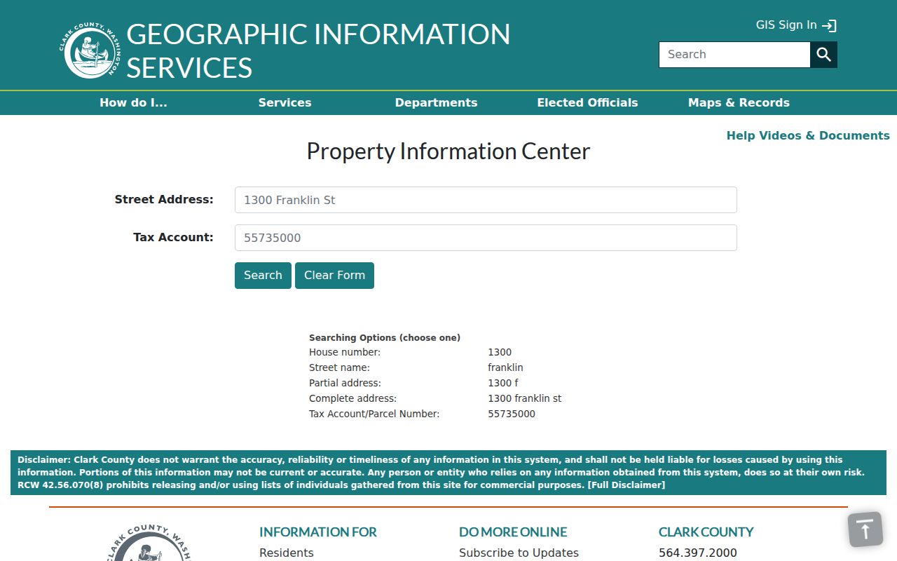
The captured screen is the address-oriented doorway to the parcel record, not a resident roster.
Browse Camas Streets in MapsOnline
The Clark County MapsOnline viewer supplies the shape and context that a text result lacks. Choose Find Parcel, enter an address or parcel key, select a candidate and zoom out along the road. With parcel lines on, click Info or Identify on each polygon. Property, zoning, development review, surveys, flood and environmental layers answer different questions, so note which layer produced each fact.
Not every adjoining shape is a home. Roads, utilities, drainage tracts, parks and association-owned open space can touch the starting parcel. The map defines adjacency; the PIC account explains the selected parcel. If a permit symbol returns “no data,” select the right attribute layer and try Identify again. That documented Camas-area GIS quirk is a layer problem, not proof that the case vanished.
The MapsOnline launch view illustrates the county map used to move parcel by parcel along a street.
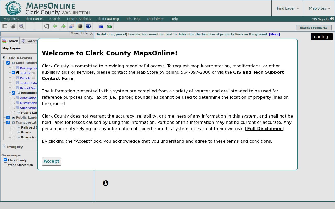
Parcel geometry gives the by-address search its block order, while the linked account provides record details.
Camas Records Keyed by Street
A useful Camas street directory combines sources only after their roles are clear. The street name connects records, but the parcel number and legal description make the stronger match. Coverage and access also differ.
| Address source | Custodian | What it contributes | Access route |
|---|---|---|---|
| Property account | Clark County Assessor | Situs, parcel, assessment, building and linked records | Free PIC address search; Joint Lobby help |
| Parcel map | Clark County GIS | Lot shapes, adjacent parcels, zoning and permit layers | Free MapsOnline viewer |
| Recorded land documents | Clark County Auditor | Deed parties, liens, plats, easements and document numbers | Landmark from 1961; mail, phone or office fallback |
| Permit and code files | Camas or Clark County | Applicant role, site, work description, dates and status | Map/index, then JustFOIA or GovQA request |
| Voter data | Washington Secretary of State | Lawfully released registration fields and precinct context | VoteWA for one's own record; controlled list request |
| Printed directories | State Library and local collections | Listed subscriber or occupant at a printed address | Onsite volumes, library or society help |
No row is a full household list. The source date and the role attached to a name belong beside every finding.
Camas Street Record Terms
Four terms keep a by-address search accurate. They describe different parts of the same land trail.
- Parcel
- A mapped unit of land with a county tax identifier.
- Situs address
- The physical location assigned to the parcel, which may differ from an owner's mailing address.
- Plat
- A recorded map that shows subdivision lots, blocks, roads and easements.
- Criss-cross directory
- A directory arranged by street and house number instead of surname.
An old deed may use lot and block with no modern number. The plat bridges that legal description to today's parcel, while a criss-cross page can attach a listed name to the period address.
Follow Camas Owners Along a Street
Landmark is best used one parcel at a time. Search the current owner as the grantee, meaning the receiving party, on the acquisition deed. Save the grantor, recording date, Auditor document number and legal description. Then search that seller as a grantee in an earlier period. Repeat only when the legal description still matches. Mortgages, reconveyances, liens and easements are recorded events but do not each mark a sale.
The live Clark County Landmark index begins January 1, 1961. Its name form permits last and first name, Starts With, Contains or Equals matching, document category and date ranges; book and page offer another route. Web images are informational, and certified copies must come from the Auditor. Online purchase requires an account.
Earlier research uses a different lane. Call 564-397-2208, email the Recording Department or visit the Joint Lobby. Historic Clark County material includes an index from 1850 to 1977 and deed books from 1859 to 1921 through Archives and FamilySearch. The overlap with Landmark is useful for checking spellings and legal descriptions.
Camas Permits by Street Address
PIC's Permits tab can list Tidemark and LMS cases with case type, issue date, status, number and a document icon. MapsOnline also exposes permit, site-plan, development-review and active-code layers. A red diamond in the active code-enforcement layer leads to a case number when the right Identify setting is active.
LMS cases may have more detail online. Tidemark material often needs a request. For a parcel inside Camas, begin with the City's public records index or development map, then ask Community Development or the City Clerk for an existing file through JustFOIA. A county parcel outside city limits belongs in Clark County's GovQA route. The applicant may be a contractor or agent, so never recast that name as the resident.
La Camas Names in Street Records
Camas developed as LaCamas in 1883, incorporated in 1906 and adopted the name Camas in 1907. Early map and catalog searches should therefore test “La Camas,” “Camas,” “Vancouver directory” and “Clark County.” The 1888 Sanborn title uses La Camas, while later reported map years include 1892, 1903, 1909, 1922 and 1943.
No official source established a single citywide street-renumbering year. Do not invent one. Preserve the exact house number, direction and spelling printed in each source. For an old site, record lot, block, subdivision and nearby named roads before contacting a clerk. Camas postal geography can also differ from municipal limits, so a mailing label alone does not select the right city or county permit office.
Printed Camas Streets and Subscribers
Camas appears inside Vancouver-area directories rather than as a neat standalone shelf label. Later street guides and reverse pages can turn an address into a listed occupant or telephone subscriber. They can also omit unlisted households and lag a move. For the years, publishers and repositories, use the Camas city directory collections rather than treating one printed volume as a current roll.
Copy the entry exactly, including initials, spouse notation, occupation shorthand and any owner, renter or widow mark. Photograph the edition's abbreviation key. Then compare the printed address with a census year, Sanborn sheet, plat or deed. The directory shows who was listed, while the deed identifies legal ownership.
Camas Voter Data Is Controlled
Washington law makes current voter lists and precinct poll books public subject to RCW 29A.08.710, .720 and .740, but VoteWA is for a voter to see or update that person's own record. A statewide extract requires a request to the Secretary of State and carries use limits. Public fields can include name, residence address, year of birth, status, precinct or district and voting history. They do not reveal ballot choices.
Full birth date, driver's-license data, Social Security digits and Address Confidentiality Program locations are not part of the public street view. The public extract is not a simple browser for Camas streets. Use it only through the documented lawful channel and label the name as a registered voter, not as the only person at that address.
Request Missing Camas Address Files
Choose the custodian by record type. The Auditor handles deeds, plats and certified recording copies. The City Clerk handles existing Camas permit and code files not posted online. Clark County GovQA takes general county requests. A narrow request should state the parcel ID, exact address variants, document type and date range. Requests themselves can be public.
The Auditor accepts certified-copy requests in person or by mail with payment and a stamped return envelope. Certified recording copies cost $3 for the first page and $1 for each added page; noncertified copies cost $1 per page. The Joint Lobby is at 1300 Franklin Street, second floor, Vancouver, and is open for in-person service Monday through Thursday, 9 a.m. to 4 p.m. General PRA requests receive an initial response within five business days, which may supply records, give an estimate, seek clarification or cite an exemption.
Limits of a Camas Street Directory
A street directory cannot name every renter or household member. Utility accounts, delivery data and school records are not public resident rolls. Driver address information is restricted. Sealed court files, adoption material and protected participant addresses remain outside ordinary access. Even open records answer narrow questions: ownership, registration, an application or a recorded transfer.
For sound personal research, state what each source proves and what it does not. Add the retrieval date, retain the exact address text and avoid publishing a tax mailing destination as someone's home. When facts disagree, the parcel and legal description can resolve the land while a newer record resolves timing.
Lawful use. Use Camas address records only for lawful personal research. Never use them to stalk, harass, intimidate or harm anyone.